

Campus Maps
Interactive Web Maps
Interactive web maps maintained by OPP can be accessed via the links below, through the organization's ArcGIS Online website or the Explorer for ArcGIS app on a mobile device.
 |
University OperationsSearch for Buildings, IOBs and Schedulable Locations Outdoors. View aerial photography. Additional layers include Area Services Boundaries, Area Shops, Construction Projects, Custodial Districts, and Landscape Maintenance Areas. |
 |
BUILDING SYSTEMS SHUTDOWNSPending and approved building systems shutdowns, notifications, and fire alarm testing. |
 |
ConstructionActive and proposed construction projects. Includes information about project leaders, estimated dates, estimated costs and brief descriptions about the work to be completed. |
 |
CustodialAn overview of Custodial Operations by building and custodial district. |
 |
PlanningUniversity Planning Districts and planning-related data including Penn State Trees and Centre County Municipalities. |
 |
Satellite Key BoxesSatellite Key Box locations across campus. Photos of the key box, its location and buildings served by each key box are provided. Buildings served by key boxes are colored based on Service Area. Area Shops and Area Services Boundaries are included for reference. |
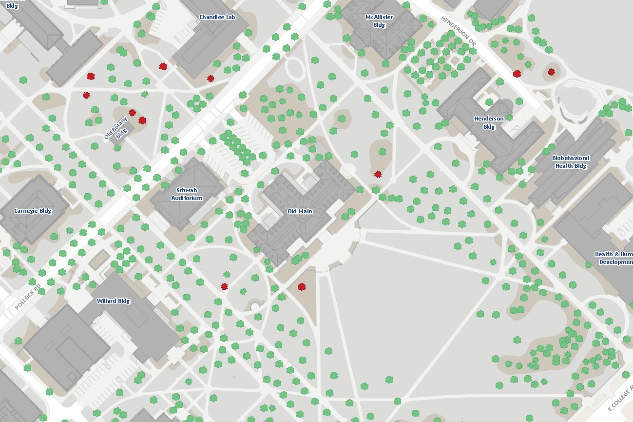 |
TreesSurveyed trees at University Park. Information includes Common Name, Scientific Name, DBH, Canopy Radius, and Sample Photos. The locations of Heritage Trees and Commemorative Trees are identified. |
Contact Information
| John Richendrfer | jdr20@psu.edu | (814) 863-6859 |
| Kaelen Robb | kmr160@psu.edu | (814) 865-2792 |
| Rob Phillips | rhp5000@psu.edu | (814) 865-7868 |
| Colin Grube | crg5265@psu.edu | (814) 863-3151 |
Additional Resources
 |
Visitor Map3D building representations, tours, and bus routes. Campus dining, campus housing, recreation, points of pride, athletics, arts and performance, ADA access, health and safety, and sustainability information can be accessed via selectable pins. |
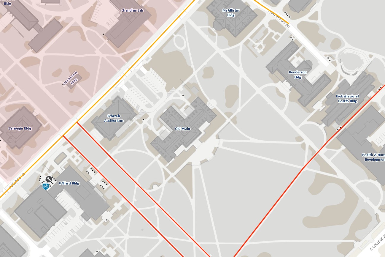 |
Bicycle FacilitiesBicycle routes, bike racks, and bike repair stations.
|
Pennsylvania Spatial Data Access (PASDA):
- Pennsylvania’s official public geospatial data portal. Find and download data from across the Commonwealth, including Penn State OPP aerial photos, lidar, and basemap data (buildings, roads, sidewalks, parking).
- Resource for data sharing, discovery, and archiving at Penn State. Find and download OPP aerial photos, lidar, and basemap data (buildings, roads, sidewalks, parking).
- Historic aerial photos of Pennsylvania.
Donald W. Hamer Center for Maps and Geospatial Information:
- Historic maps of Centre County and Pennsylvania offered in digital format.
- Provide resources and training for mapping, GIS, and geospatial technology.
- The Public Parcel Viewer displays parcels, streets, streams, buildings, municipalities, school districts, soils, state parks, state game lands, and state forests in Centre County.
- GIS training resources (most are free). Includes documents, MOOCs, story maps, videos, seminars, tutorials, instructor-led courses, and web courses.